Bay Area Bike Rides
BART-accessible routes for fun mixed-group rides.
Rolling since 1993.
Choose your own adventure! There’s a BART-accessible route here for you and your friends, whether you are looking for a short, flattish ride, or an epic mountain climb.
Ride Bike!
Road outages
Winter rains often damage these remote roads. That makes for nice riding, but sometimes the road will be shut down by work crews. Be respectful if so. As of March 2026, I believe all roads here are open to bikes.
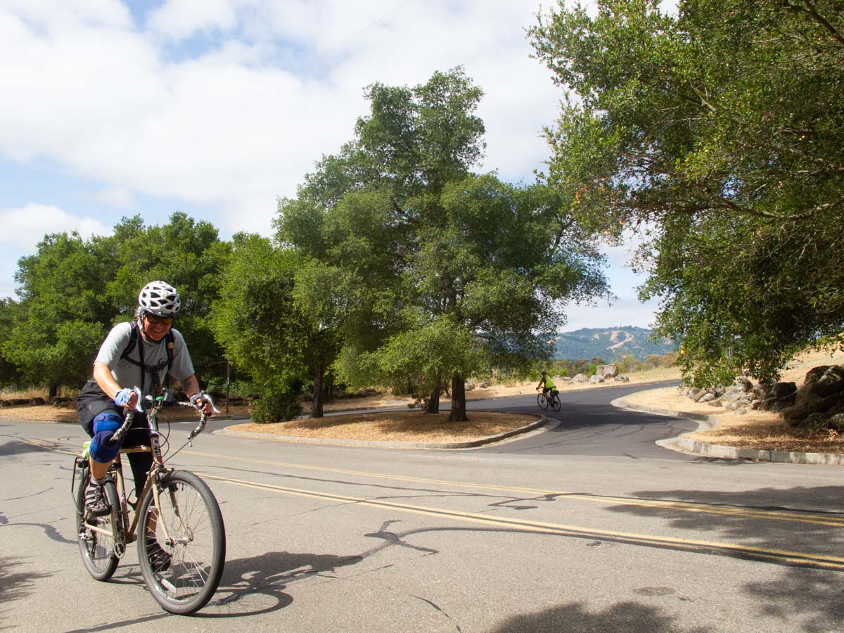
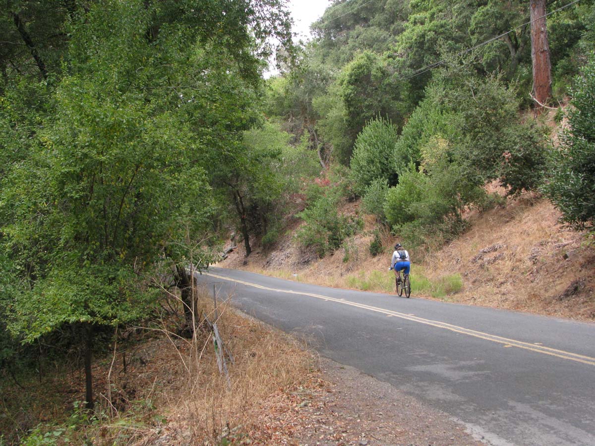
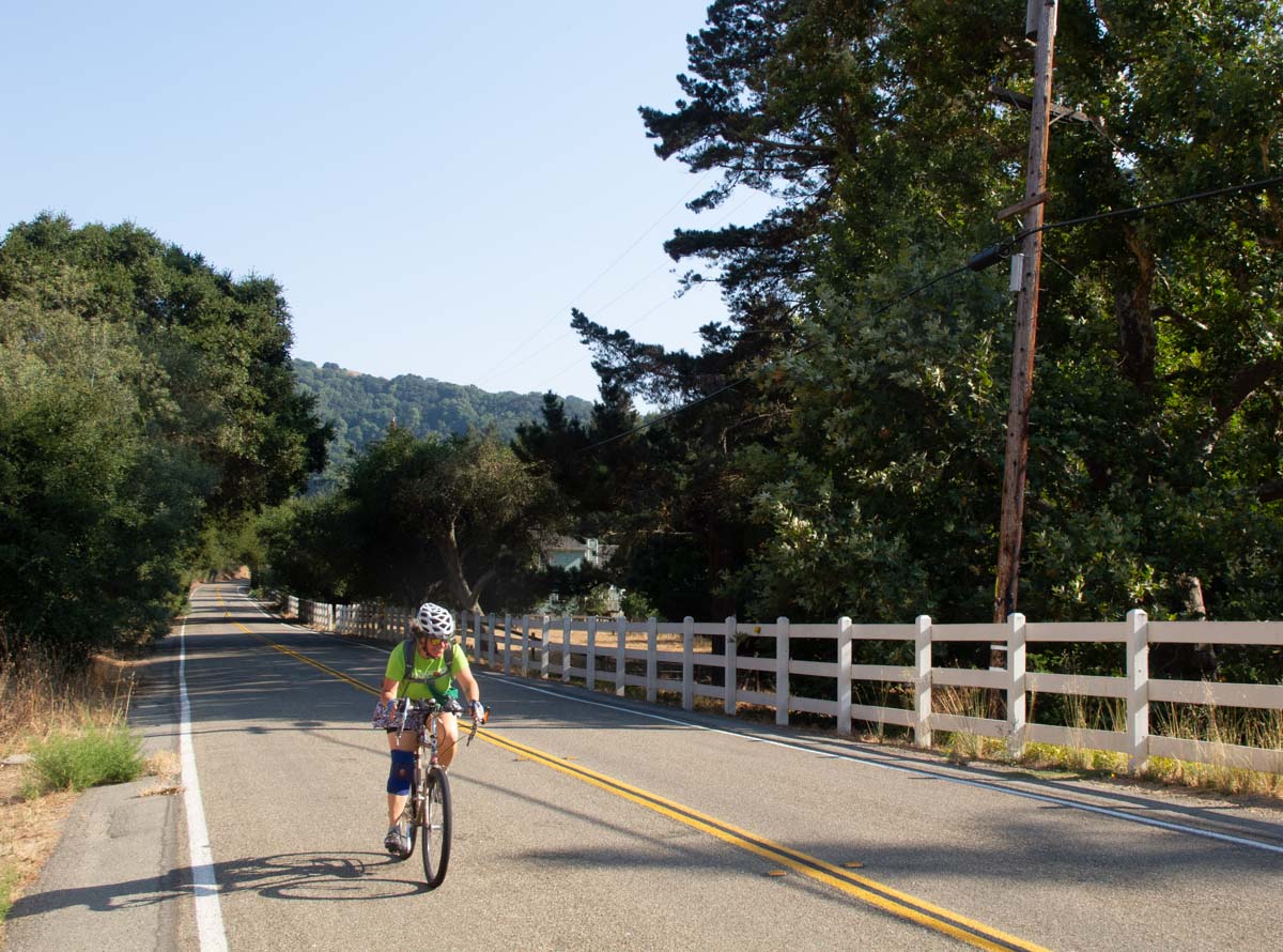
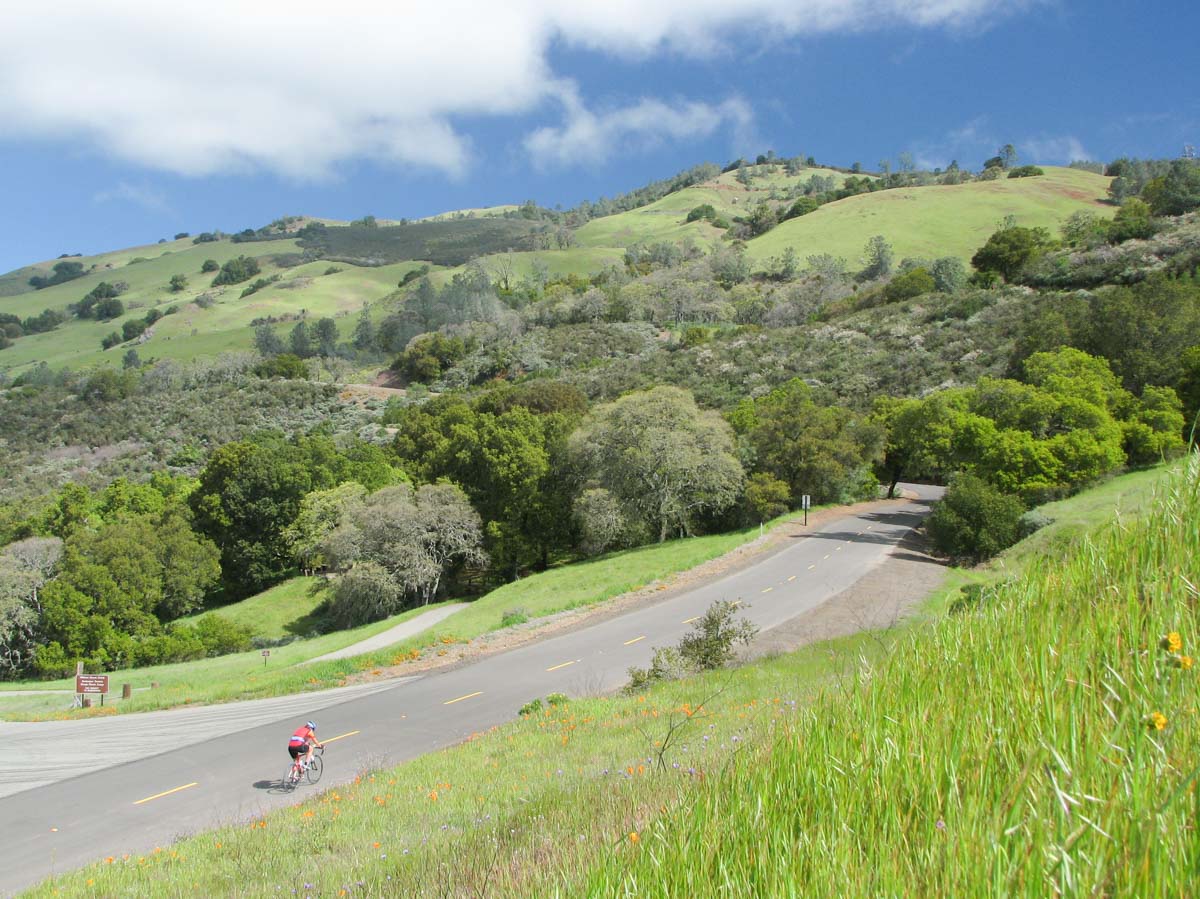
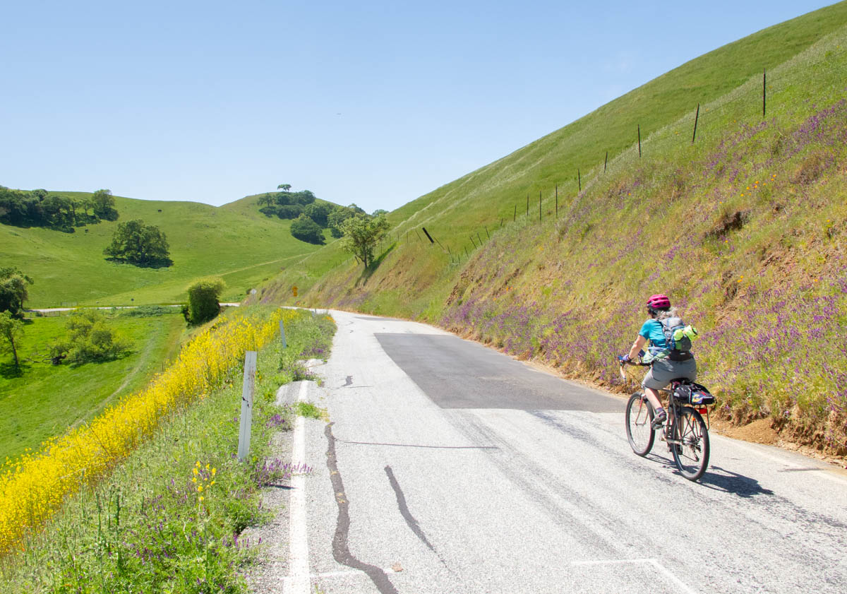
Rides
-
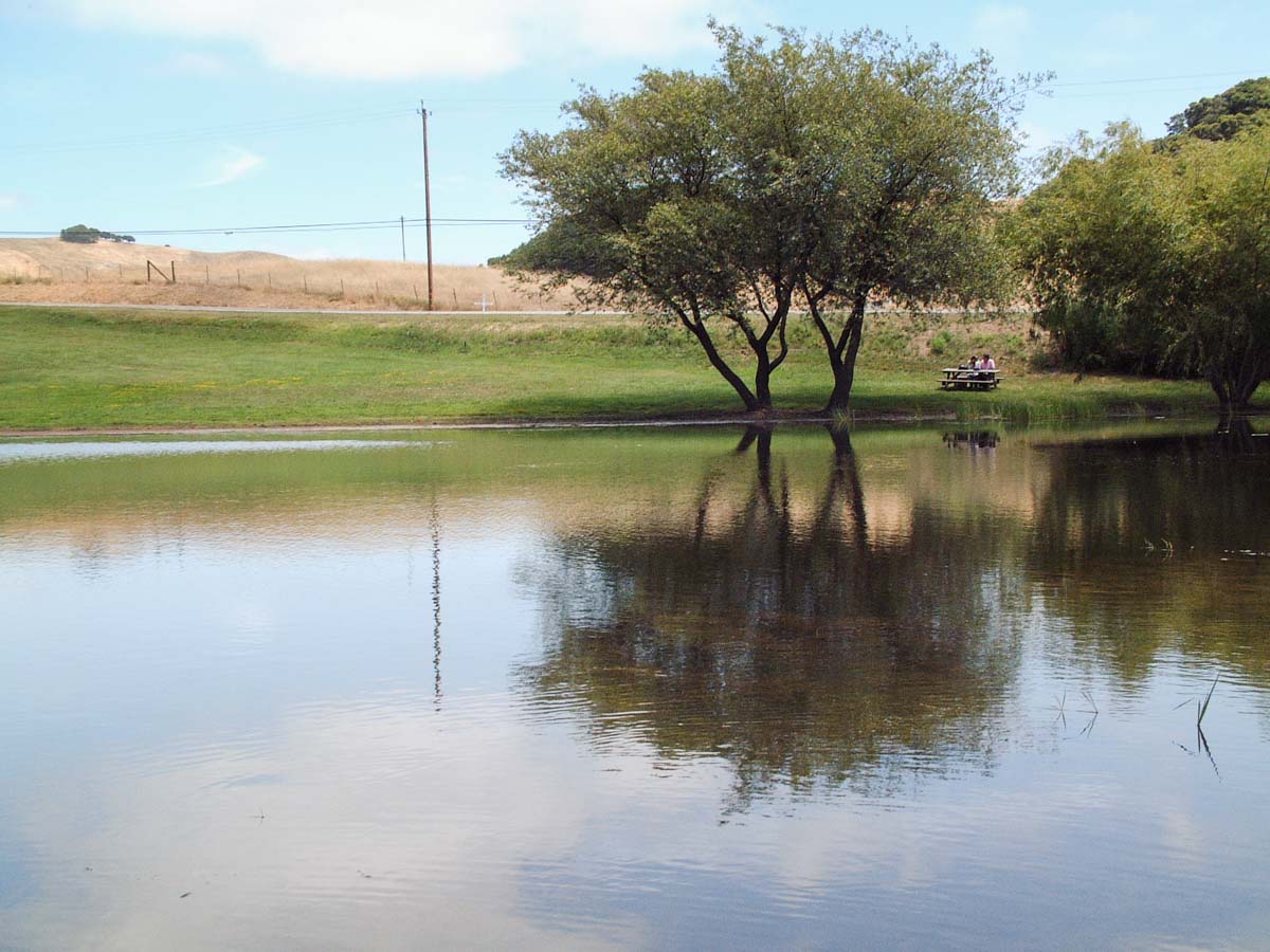
Happy Valley
A relatively short ride featuring the Papa Bear climb and the long Pumphouse Hill descent.
-
Moraga, Canyon, and Pinehurst Road
The ride through the town of Canyon on Pinehurst is one of the signature East Bay bike rides. The climb to Skyline is a challenge.
-
Bear Creek Road (The Three Bears)
The Three Bears are the three climbs on Bear Creek Road, one of the most popular routes in the area for serious cyclists.
-
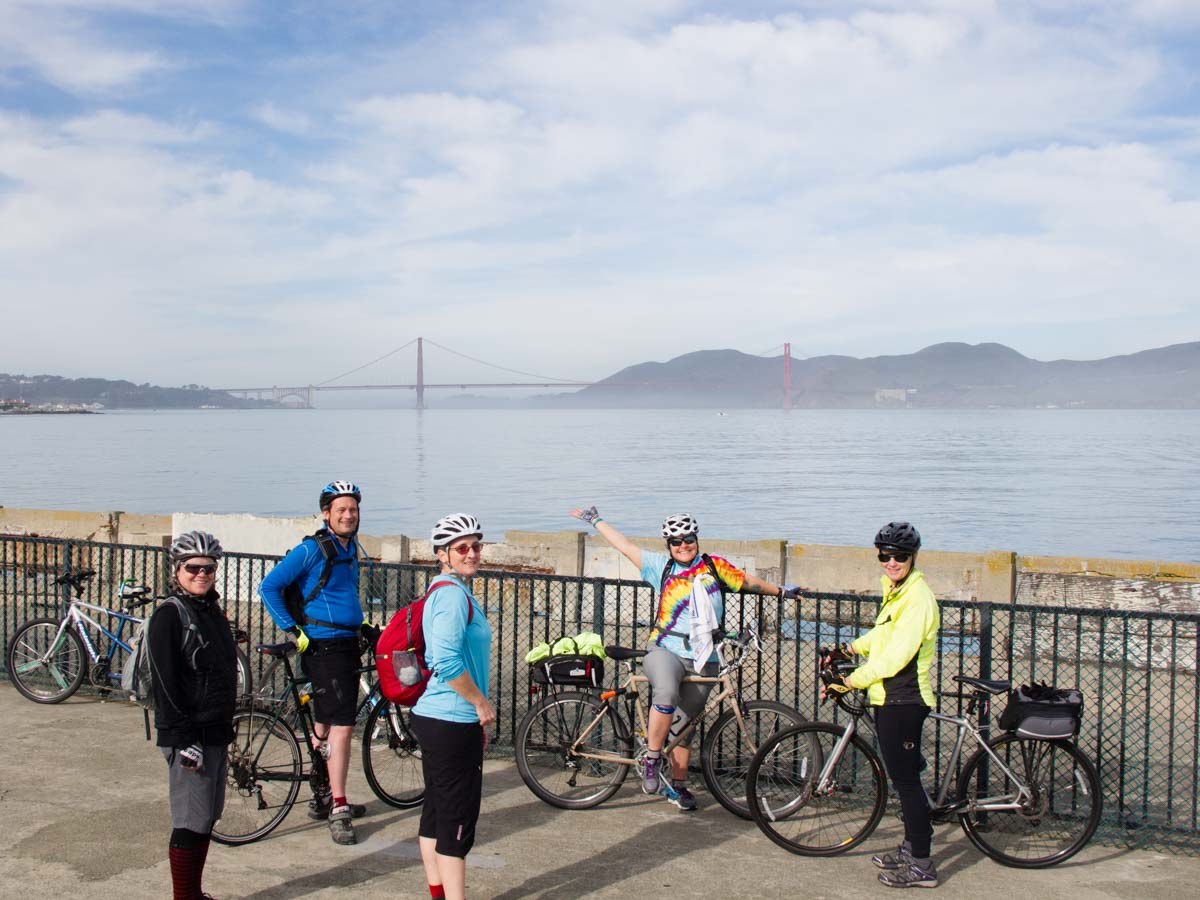
The Tiburon Loop
One of the most popular loops in the Bay Area, this route adds a couple of fun options in the Marin Headlands.
-
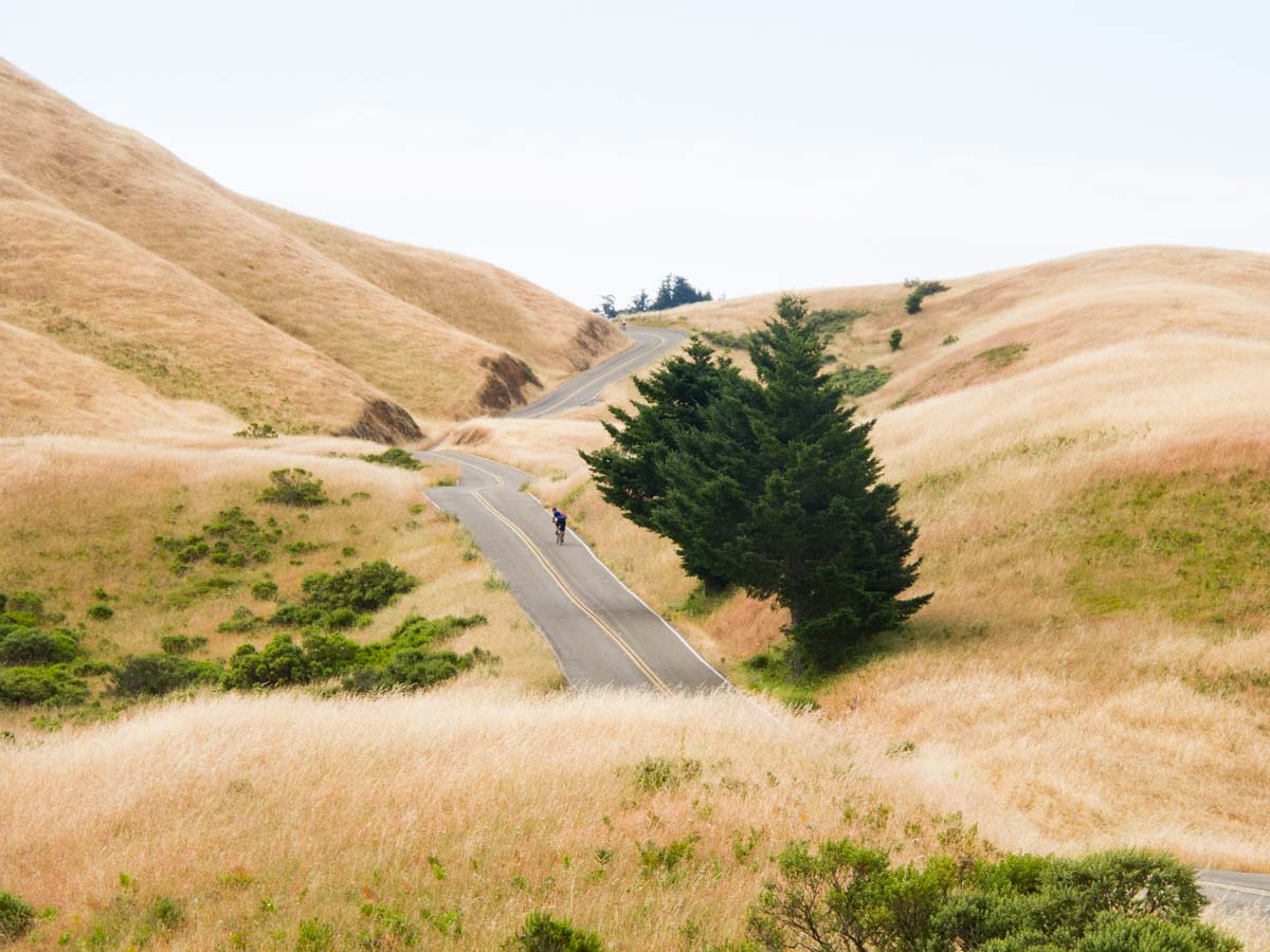
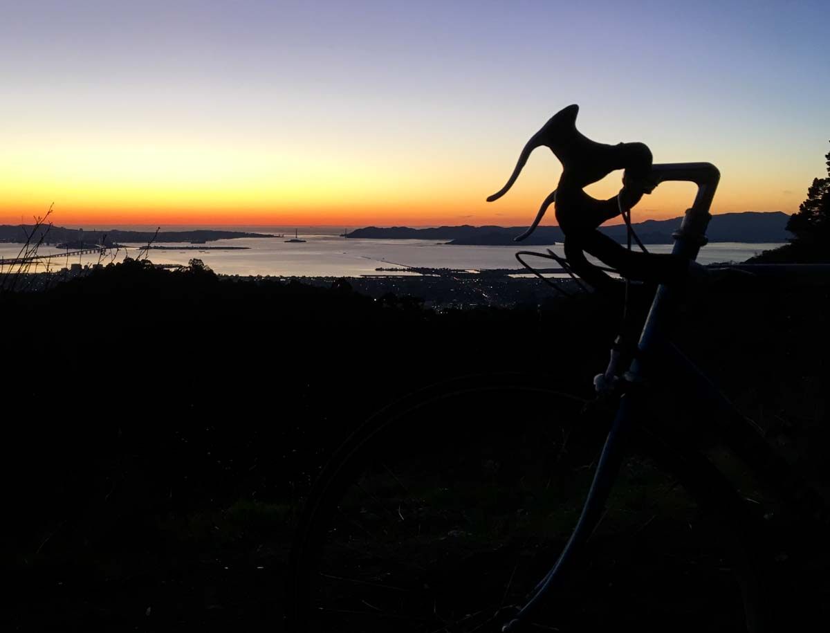
Mount Tamalpais
Beautiful riding through Marin County and San Francisco, and a dramatic climb with views of the Bay and the Pacific.
-
The Cheese Factory Century
A nice tour of east and central Marin, with a picnic option at the Marin French Cheese Company.
-
The Berkeley Hills Death Ride
This homage to masochism heads up and down 5 of the steepest streets in the Berkeley Hills (steepest grade, over 25%).
-
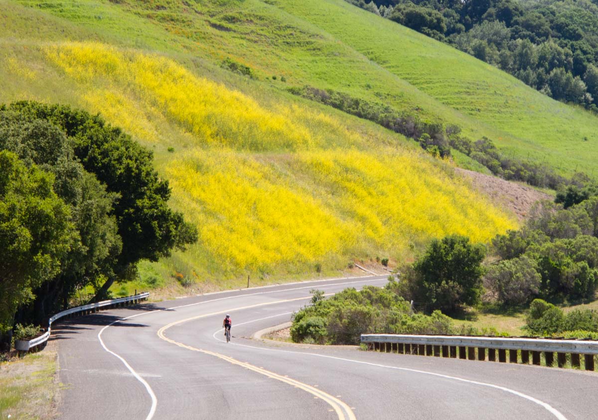
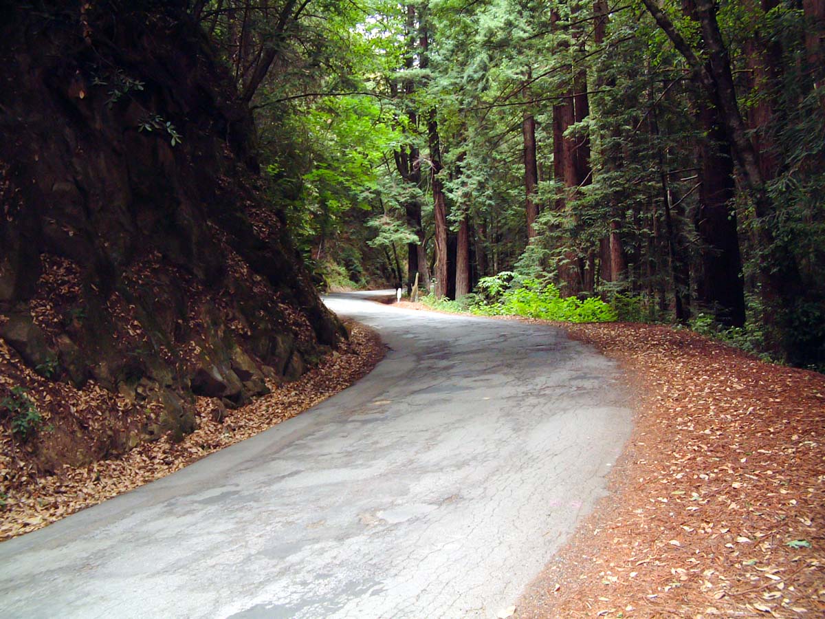
Tunitas Creek Road
One of the best cycling roads anywhere, a climb through the redwoods with no traffic. A gravel option goes up Purissima, the next canyon over. Highway 1 is also fun in its way.
-
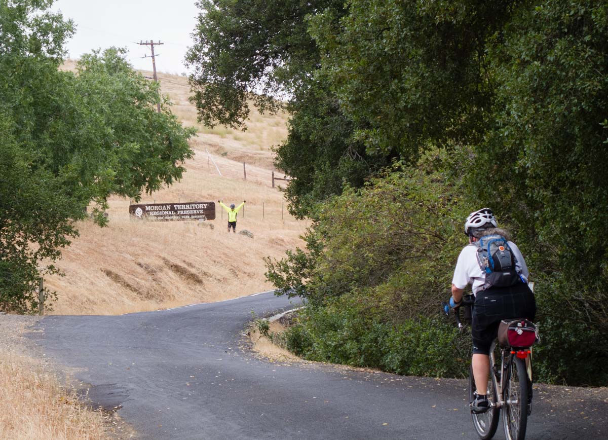
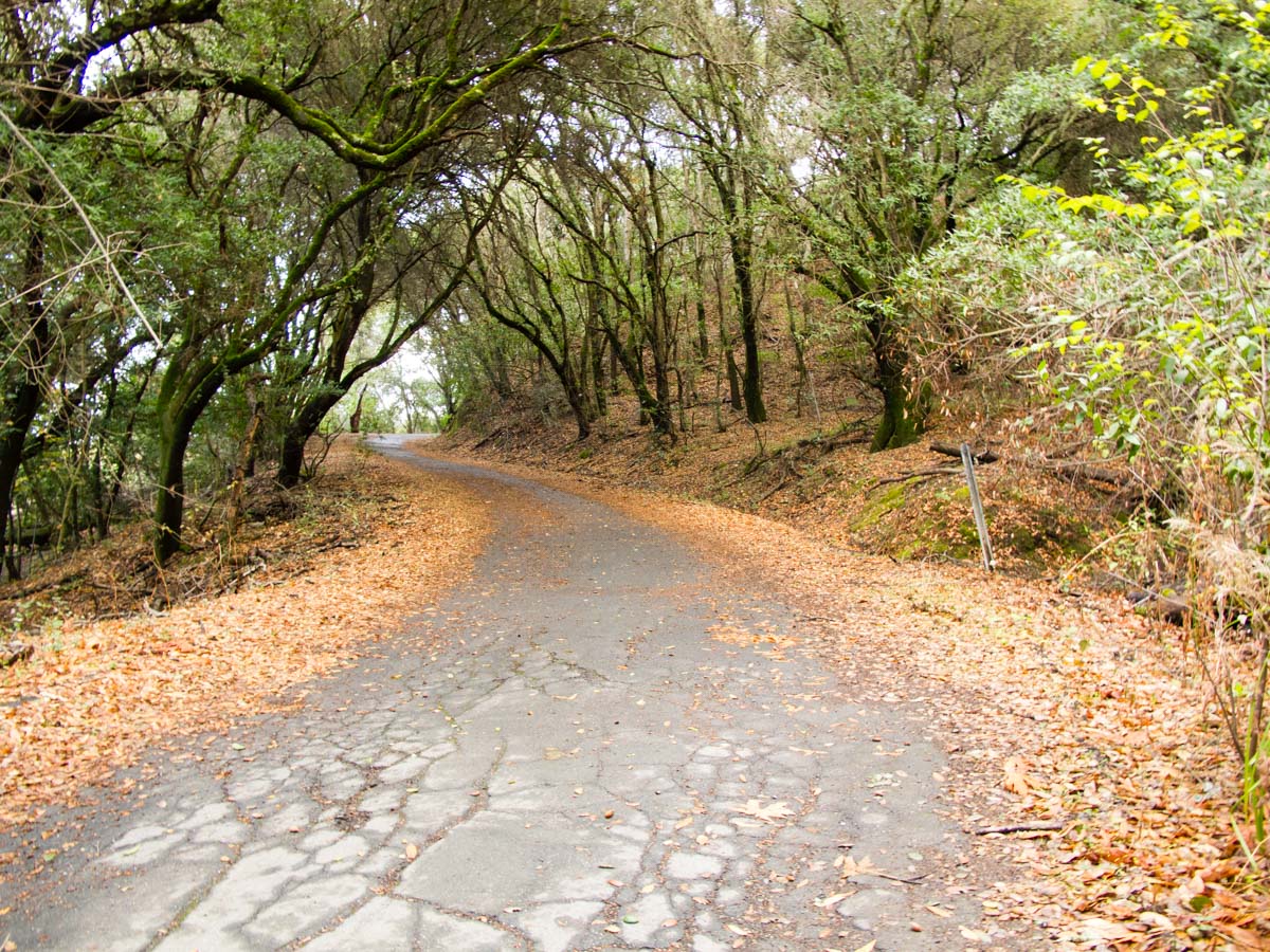
The East Bay Dead End Tour
A tour of six different dead end roads in the East Bay; unusual riding with very little traffic.
-
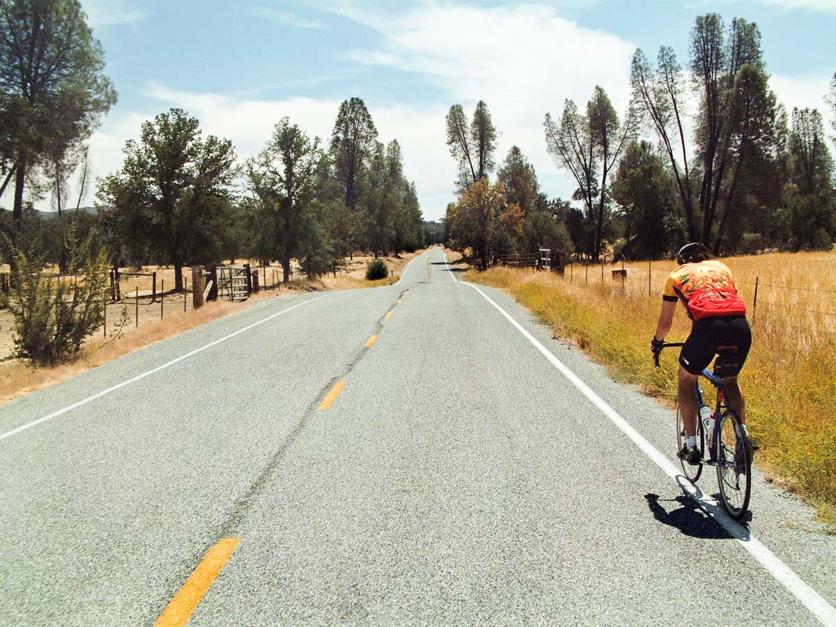
Calaveras Road and Mount Hamilton
The intermediate ride is a lovely roll along the foothills by the Calaveras Reservoir. The advanced ride is an epic sufferfest up Mount Hamilton.
-
Mount Hamilton via Mines Road
No easy option on this one; only advanced or masochistic. Spectacular and challenging riding on desolate roads.

If you have a paid membership for the RideWithGPS app, you can use these routes for turn-by-turn directions, or, download the .TCX or .FIT files and import those into your favorite nav tool.


