The East Bay Dead End Tour
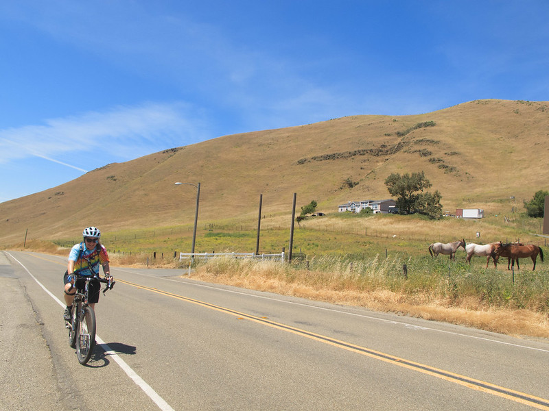
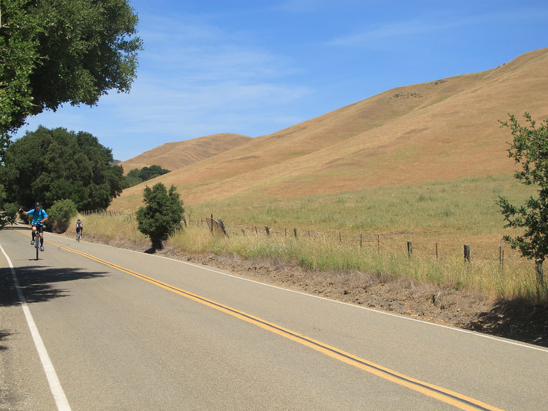
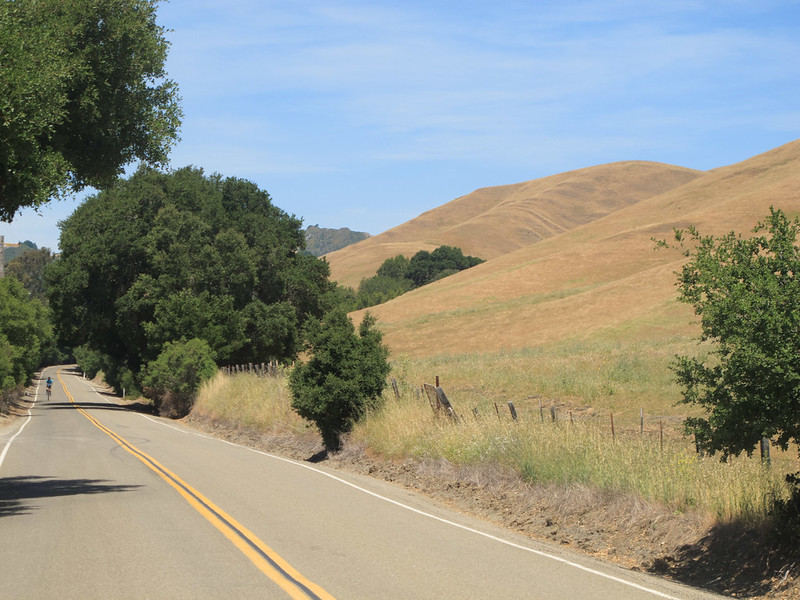
The East Bay has a lot of dead end roads that are either through roads which have been abandoned, or go into a canyon or up a hill and then stop. They usually have little traffic and interesting terrain. This ride combines seven of the most memorable. The beginner’s and intermediate rides are pleasant and enjoyable, the advanced ride is nice but strenuous, with a lot of distance and two nasty climbs. Civilization level and traffic are both low, except on a couple of the connecting roads.
Route maps
Beginner’s (27km)
Start: Castro Valley, End: Castro Valley
Intermediate (72km)
Start: Castro Valley, End: Walnut Creek
Advanced (123km)
Start: Castro Valley, End: Berkeley
Road Notes
Cull Canyon Road
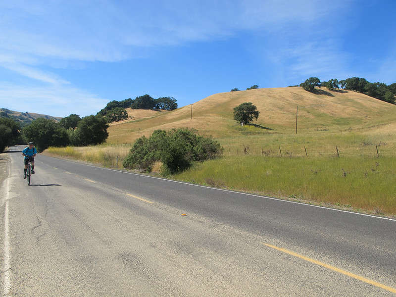
Cull Canyon Road gets out of residential Castro Valley and into rural Alameda County almost immediately. There’s almost no traffic as the road gradually climbs to its (almost) dead end; there’s a driveway at the end that leads onto private property. If you’re a naturist type, one of the properties is the Sequoians, a clothes-free club (though they have clothing-optional hours on Saturdays).
Crow Canyon/Norris Canyon Road
Crow Canyon is busy and narrower than you’d prefer. Fork right on Norris Canyon at your first opportunity. Norris Canyon is quiet and beautiful, partially wooded and partially through rolling hills. The descent is fun and fast, ending right at Bollinger Canyon Road, our next dead end.
Bollinger Canyon Road (San Ramon side)
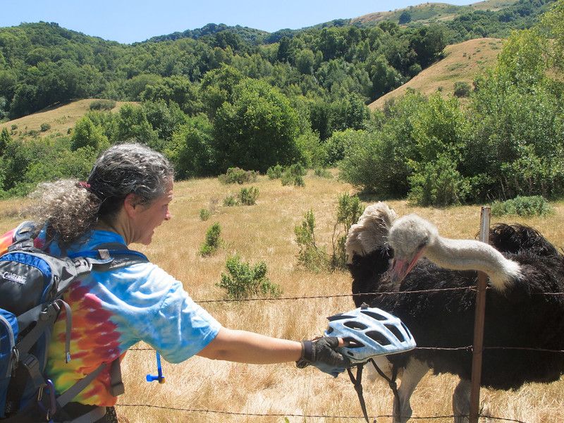
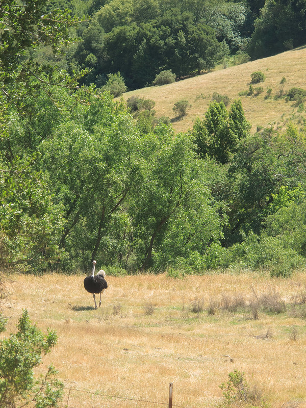
There are two ends to this road; one starting in San Ramon and one starting in Moraga. We’ll do both ends. There actually is a dirt road that goes all the way through, but it includes gated private property, so it’s effectively two dead ends. There’s an ostrich and zebra farm on the west side of the road about halfway up. The road rolls gradually upwards, passing ranches and parkland, and ends at the staging area for Las Trampas Regional Wilderness.
Castle Crest Drive
Once known as “The Hill,” this short spur off Crest Avenue includes a ridiculously steep and sustained climb. It ends at an open space area with some trails.
Martino Road
Martino is similar to Castle Crest, not quite as steep but longer, ending at Lafayette Ridge. There are fire road options to ride down if you are set up to do that.
Bollinger Canyon Road (Moraga side)
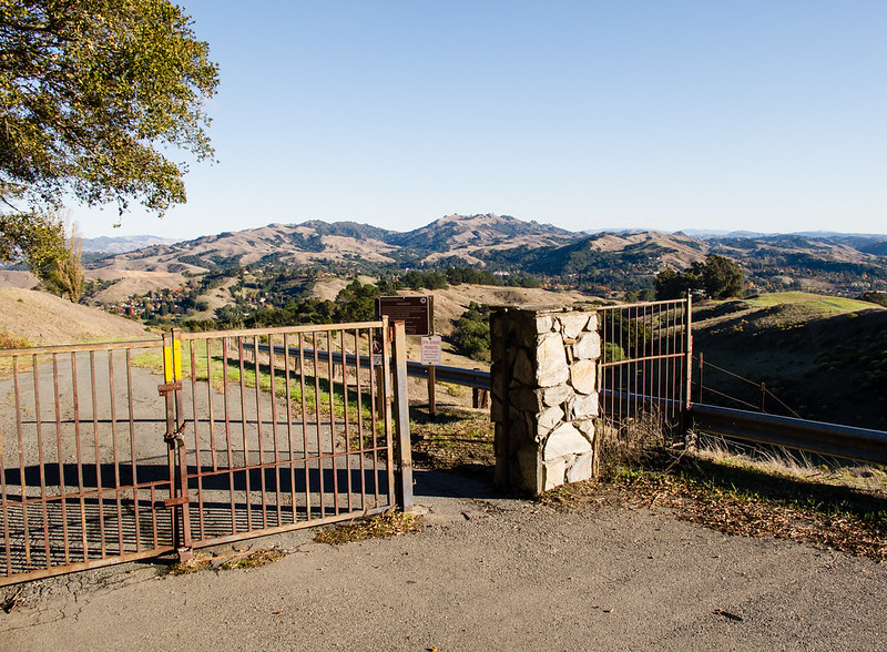
This is a short, quiet road leading to a gate with ominous warnings about trespassing.
Donald Drive
After passing the Hacienda De Las Flores, Donald Drive curves and climbs steeply to Orinda Oaks Park. After the gate, the road is unmaintained and generally in bad shape, but on the uphill that’s not much of a problem. There’s water and views at the peak.
El Toyonal
Another steep climb through a residential area brings you to a quiet, pretty road that’s closed to through auto traffic. There’s a bridge for bike, foot and horse traffic near the end of the road. This area is a nice rural spot hidden in the developed zone of the Berkeley Hills.
Panoramic Way
A bonus dead end in Berkeley. You can skip it if you’re tired, but this steep climb starting behind the stadium will bring you to the best view of the tour. There’s a reason they call it Panoramic.

